Category: Coordinate Systems
-

Breaking the Gateway
Defining delivery requirements in the Geospatial domain; and my favourite bug discovery. Communication protocols enable systems to communicate information; these definitions are API’s; Application Programming Interface. These protocols must be well defined to function. The list goes on within the computer science world geography isn’t normally in this conversation. While delivering a new API to…
-
Spatial SQL
SQL is a standard language for interacting with DB’s and I don’t think we discuss it enough in the Spatial community. It’s a de facto language for interacting with DB’s which is platform agnostic. There are some great courses which I’ve dipped in and out of but the best is to just use the tools…
-
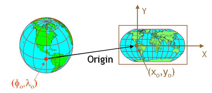
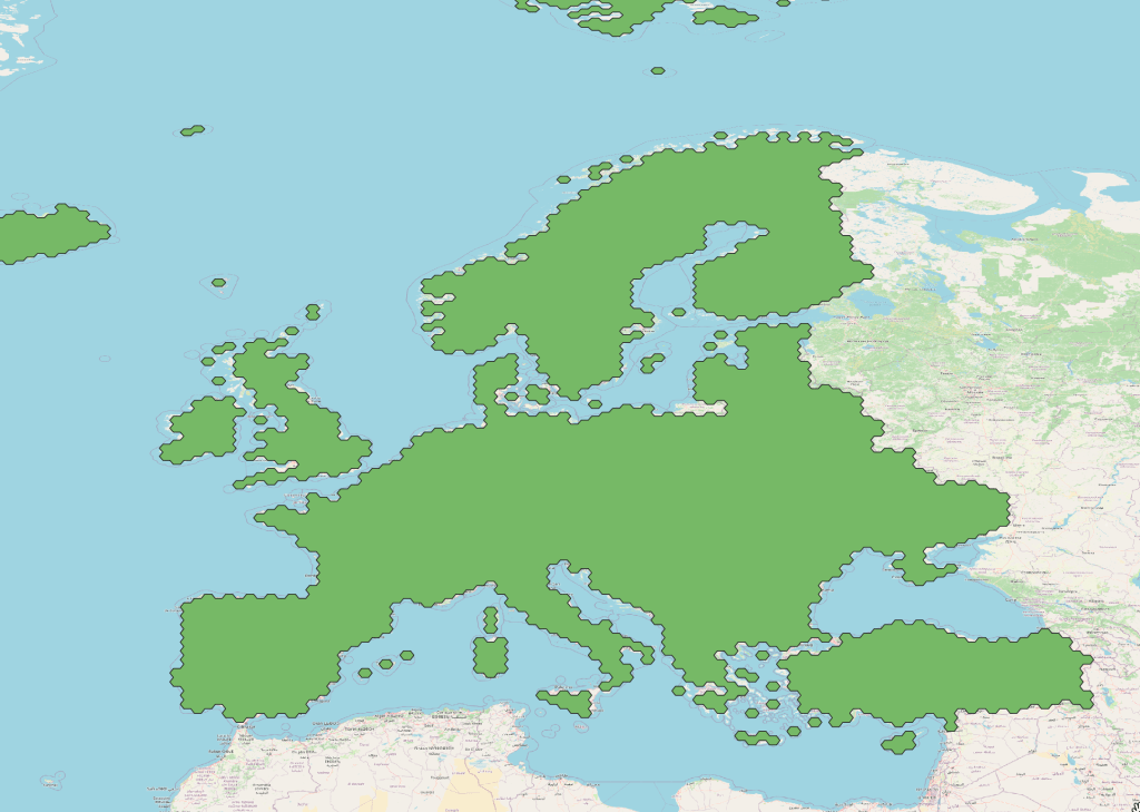
Why do Coordinate Systems matter
consider a crs as a tech stack thats been in development for 2500 years.
