
I was lucky enought ot attend Geopython this year; the brain child of Martin Christen’s, a professor at fhnw. Within the Geospatial domain Python is the goto language but its an increasingly popular language too.
(more…)Category: Python
-
LAS srs and assignment in PDAL
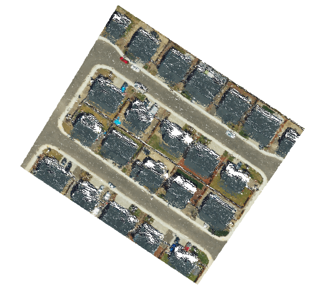
One of the most popular, or even the most popular formats of 3d point cloud data is LAS. I’ve written about it before here, but in this example let’s take it further, let’s write some data. I’ve got some data with questionable srs info to start and I’m trying to work out exactly the issue.
(more…) -
Working with Shapefiles
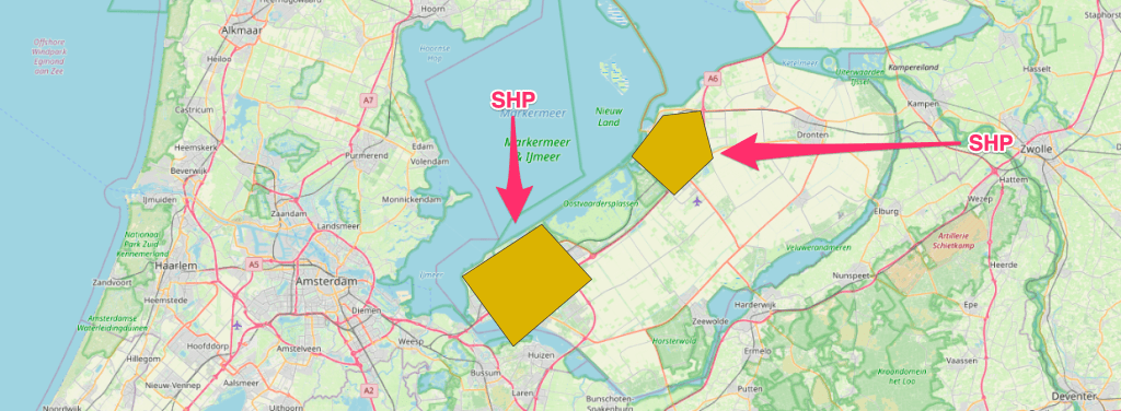
Shapefiles are an old file format, originally developed by ESRI, which have become a common way of working with Geospatial data; much to the chagrin of ESRI who have ever since been trying to migrate to a Geodatabase format.
(more…) -

Automated Testing for Geospatial Applications
We really don’t want to break things that work, it’s super frustrating. We test to make sure that any changes we make do not break another piece of the code in our applications. Of course manual or exploratory tests are important but the dream is to get this stuff fully automated. (more…)
-

The Power of Python Toolboxes
A lot of manual work can be avoided by using scripts to automate the processes. However, you inevitably end up with a lot of scripts to automate different pieces of a process. (more…)
-
4 Ways to Geocode in a Hurry
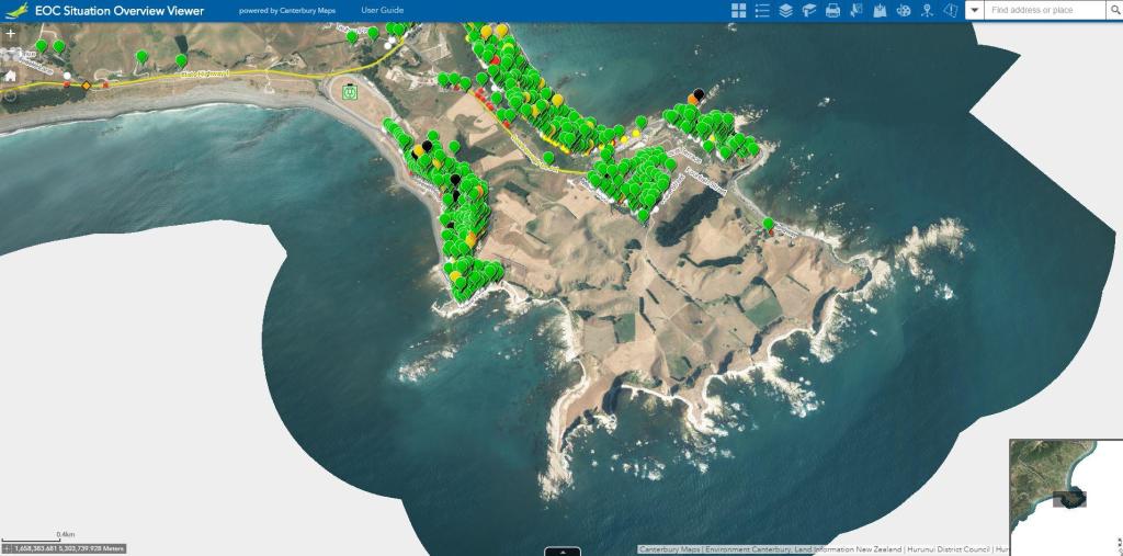
Let’s talk about giving an address X Y coordinates. If you need to geocode something it’s probably going to be in a .csv .xlxs or .xls format. This post will talk you through adding a location and putting it on a map.
-
How to Ethically Harvest Online Data with Python for ESRI Integration
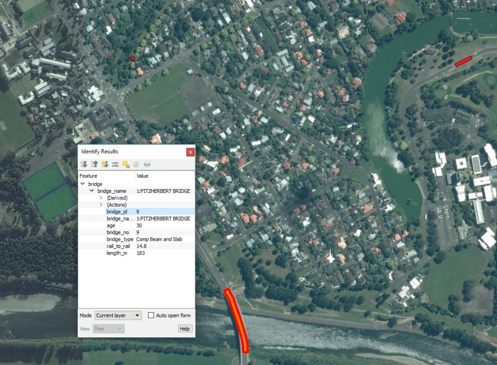
GeoJSON data is available from ramm.com about our cities bridges. To make it available for our engineers it needs to loaded to a local database. There are lots of metrics stored there too which can change daily, so we need to do this every night. Let’s automate it with python!

