Category: Uncategorized
-
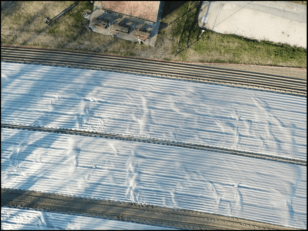
RIP Pix4D Mapper
Hey folks. I moved from Wellington to Switzerland a few years ago now and a big part of the move was an application called Pix4D Mapper which I really liked. It was the beginning of the drone revolution, before all the modern warfare stuff and it was just a really nice time to like flying,…
-

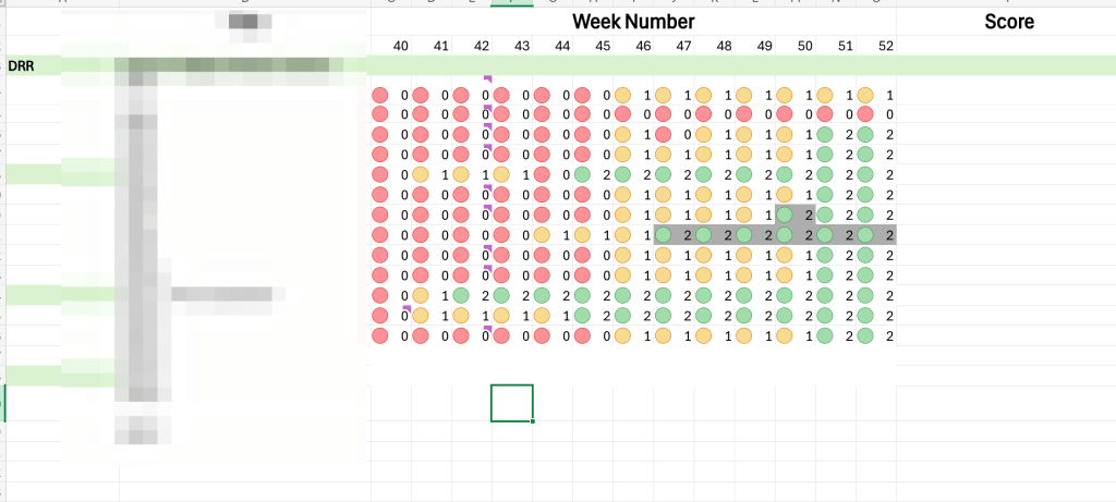
Developing a QGIS Plugin: What I Learned Building a Geospatial Catalog Tool
I find myself wrapping up a QGIS plugin project that started as a pile of loose Python scripts. Its been roughly two years and the project is now closing out (for me at least) so I wanted to write about some of the interesting complexities that came with it. QGIS has something like 200,000 weekly…
-
Planning is Guessing. Here’s How to Guess a Bit Better.
The age of AI has changed how we plan as much as how we write. Prior to AI we already had a problem with people setting bad goals. With AI, those same people have an increased capacity to act on them. I once heard someone describe intelligence as analogous to the engine of a car.…
-
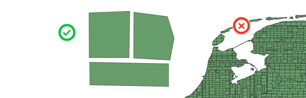
Change Management from the pov of a geographer
I find myself, a geographer, running the change management processes in a Tech company. While it seems like a .yaml chart code problem to people with a CS degree; moving containers in cloud infra seem more too me like a transportation network problem. For me there are three primary areas: Each of these 3 subjects…
-
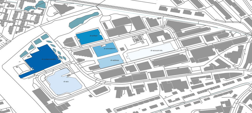
Breaking the Gateway
Defining delivery requirements in the Geospatial domain; and my favourite bug discovery. Communication protocols enable systems to communicate information; these definitions are API’s; Application Programming Interface. These protocols must be well defined to function. The list goes on within the computer science world geography isn’t normally in this conversation. While delivering a new API to…
