As a GIS professional your workflow very likely includes the acquisition of data to solve problems. In this post I’m going to be laying out a guide to Satellite geospatial data. Hopefully this will make finding data you don’t work with everyday a little easier.
This is based primarily around New Zealand but includes everything I’m currently aware of. Please leave comments below if you know of other sources which could be included in this list.
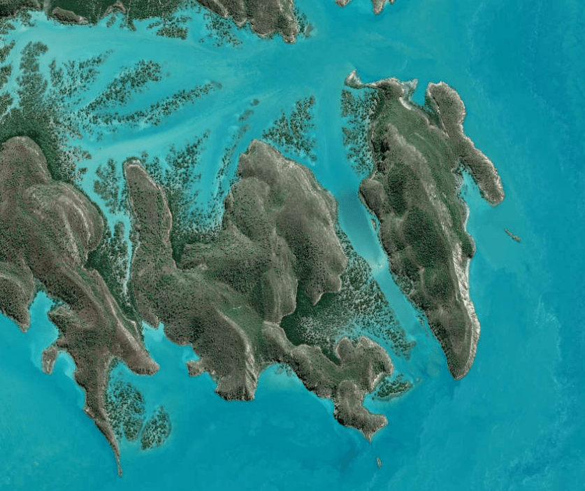
Free Satellite Imagery
Landsat and Sentinel are my primary sources of spaced based remote sensing. They have free download portals, their orbits pass over New Zealand and they are supported by large organisations. Note you will need a login but thats free.
The Landsat Program:
The Landsat program is a joint earth observation project from the The US Geological Survey and NASA. It revolutionized the industry. It has an excellent track record and provides the longest continuous space-based record of Earth’s land in existence. Landsat 7 had an error while deployed but amazingly continues to collect data to this day. Landsat 8 has since replaced it with a revisit time to New Zealand every 16 days.
- The best viewer for looking at acquired imagery is here
- A secondary Viewer is here
- The best download center is here

Sentinel Satellite Series:
The Copernicus program is a European Space Agency project launching the Sentinel satellite missions. Each Sentinel launch is intended to have an A & B platform. Sentinel-2A was launched in June 2015 and Sentinel-2B is scheduled for launch later this year.The Sentinel program currently has a 10 day revisit cycle to New Zealand.
You can view the acquisition plans for the Copernicus program here
You can then download the planned .kml files and view them using either Google Earth or ArcGIS earth, I prefer the later for its integration.

MODIS:
Moderate-resolution imaging spectroradiometer (MODIS) is a scientific mission consisting of two platforms, Terra & Aqua providing higher level imagery of the planet. Terra was launched into orbit by NASA in 1999 while Aqua was launched in 2002 orbiting at 705km. Much of what we know about our atmosphere and oceans comes from this platform with a whole suite of environmental data being derived from it.
- You can view a live feed of imagery collection on the NASA site here
If you’re more interested in the derived data products here they are:
- MODIS level 1 data, geolocation, cloud mask, and atmosphere products here
- MODIS land products here
- MODIS cryosphere products here
- MODIS ocean color and sea surface temperature products here
Spatial Resolutions:
- 250m (bands 1-2)
- 500m (bands 3 – 7)
- 1000m (bands 8 – 36)

3rd Party Viewers of Free Satellite Data
There is so much data being collected about our planet these days that a series of viewers with the explicit purpose of making it easier to sift through the information have been developed. They can really help when searching with particular specifications in mind, such as % cloud cover.
My two favorites at the moment are:
- Earth Observing Systems – they have a beautiful viewer here and offer an imagery processing cloud service using both Landsat and Sentinel imagery and include day/night filtering.
- Remote Pixel – built a great viewer here using bootstrap – you can follow the developers on twitter @RemotePixel
Paid for Satellite Download Centers:
I’ve focused mainly on the free services as i presume that is what most people are interested in. The two primary benefits of premium satellite platforms are:
- Better resolution
- Faster revisit times
I’ve only ever worked with the DMCii and Digital Globe services so cannot vouch for the others.
Digital Globe
Digital globe have a number of space platforms, including the WorldView series, Pleiades and Quickbird. In the 2016 Kaikoura earthquake the team I worked with received imagery support from DG to help assess the scale of the landslides.

AirBus
The DMCii constellation Is a great source for imagery in a disaster. I know people who have used the platform for fire, earthquake and flooding response. I’ve personally worked with imagery to track crop disease using NDVI and daily imagery updates.
- Here’s the imagery explorer

SPOT Image
The SPOT constellation is a series of platforms from SPOT 1 – SPOT 7 (currently). It is run out of Toulouse, France, the high tech capital of the county.
Planet Labs
Originally a German Geospatial Information provider Rapid eye is a constellation of 5 satellites offering high resolution earth imagery
While I work with this data all the time it’s hard to stay up to date with everything going on in an industry moving so quickly. If I’ve made any mistakes please feel free to correct me in the comments section below. I always read and respond to comments within 24 hours.

Leave a comment