City water networks are inspected regularly. CCTV footage helps confirm replacement scheduling. These are algorithmically generated, and are not always that reliable. Lets make some information visible.
Here is the inspection arrangement viewed spatially rather than the automated inspection schedule.

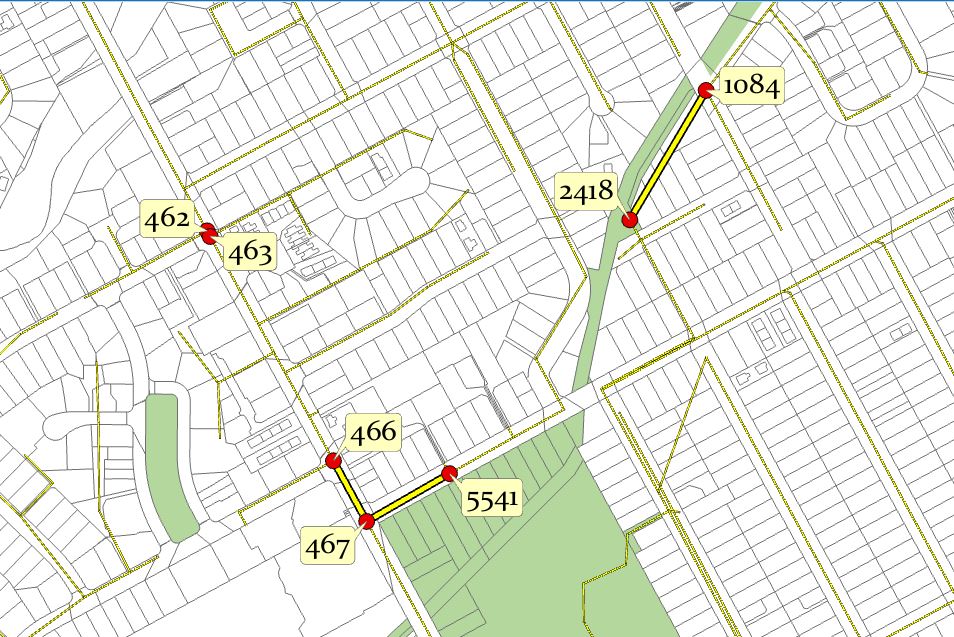
Here’s another section. My question is why? Your going to have to do traffic management in any case, why not check the whole set? The thicker lines are the ones to be inspected and they all get inspected.

It turns out that is a pretty valid question; the algorithm weights install date more heavily than the more practical nature of a continuous area. Quite often gaps in the network simply come up for testing in another 4 years.
With a little persuasion we can redraw the schedule like this for an overview:

Its a pretty simple sell. The only two pieces of information the engineers are interested in is the date and the pipe distance. They get that with a map and they didn’t have that before. Data on a spreadsheet is not useful!


Leave a comment