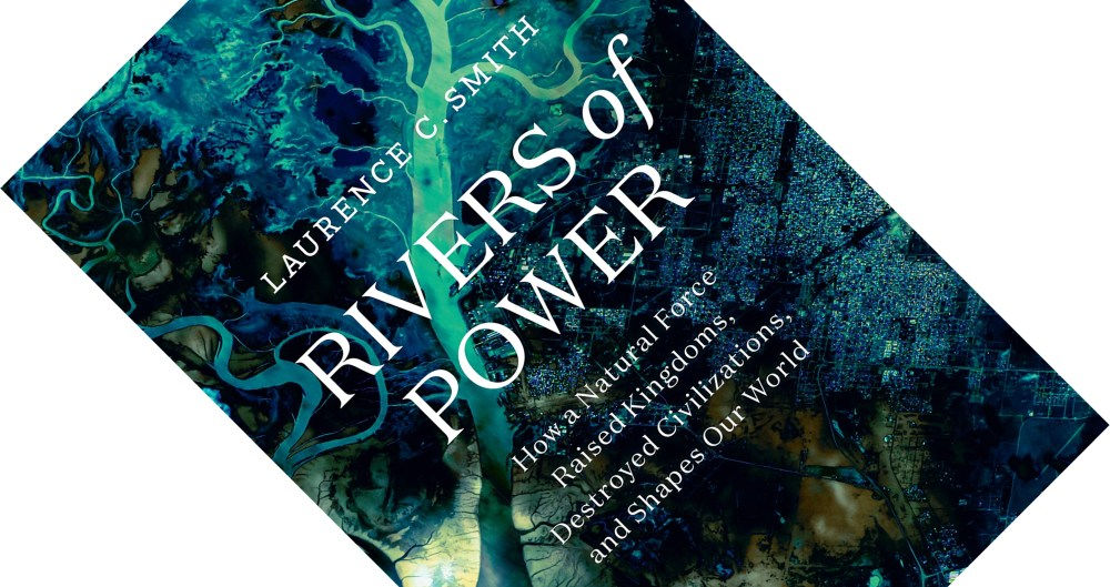
I finished a great book and would like to share; Rivers of Power – How a Natural Force Raised Kingdoms, Destroyed Civilizations, and Shapes Our World. It explains the world from the physical geography of Rivers, covering among other things:
- The first sustained attempt at data science by the Egyptians
- The Roman system of water measurement
- Technical innovations in Canal design and the future of City development
For each River I’m using a stream-lit app on top of the pretty maps project. https://prettymapp.streamlit.app/ its a python project to extract open street maps with a fancy FE.
Egyptian Pharaohs Censor the Nile Records
Data scientists usually appreciate the importance of good data collection. Prior to Rivers of Power I had no knowledge of the Egyptian Nile Flood records. The first systematic environmental monitoring project we’re currently aware of. An archaeological artifact called the Palermo Stone was discovered which used to record the height of the Niles flooding. The height of flood water was then used to predict the futures harvest. If the waters reached level 12 then it predicted starvation whereas if the waters rose all the way to 15 there would be widespread prosperity. The measurement devices show signs of having been hidden. This is likely because predicitive metrics about coming starvation was sensitive data. Making this the first recorded instance of environmental data censorship too.
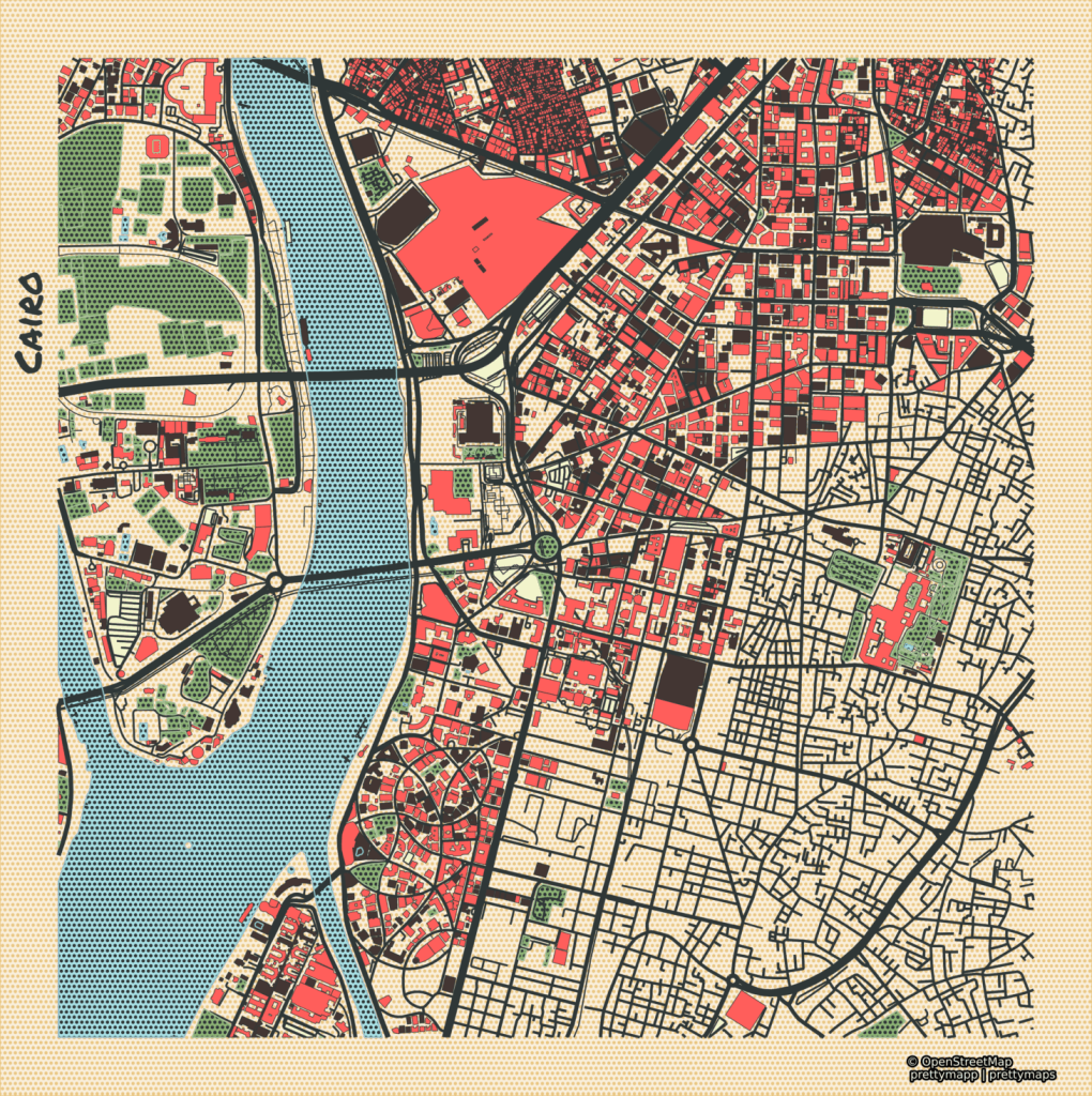
The Nile flows through the heart of Cairo and is 6650km long and has a discharge rate of 2,830 m³/s. Its either the longest, or second longest river in the world; the Amazon has recently been declared slightly longer…
Ransoming Water
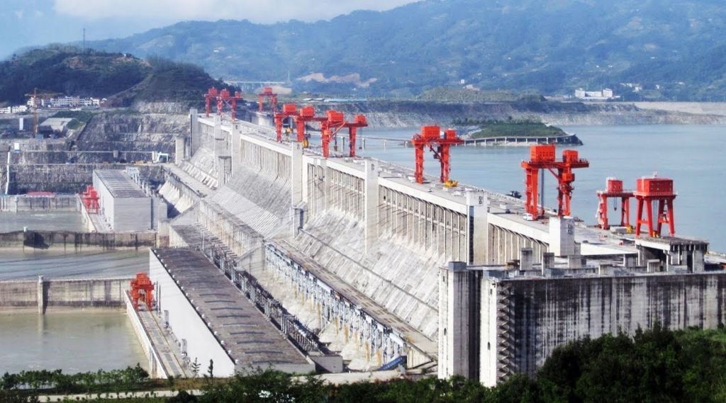
Rivers of Power was my first introduction to the concept of water towers in geographic terms. Countries with large bodies of water such as Lesotu, Ethopia, Tibet, Switzerland are referred to as water towers. They have no access to the ocean for trade but they have the ability to capture water for dam projects. Downstream neighbors are often wealthier due to maritime trade opportunities. This causes some geopolitical situations such as the one unfolding at the moment between Egypt and Ethopia. Poorer countries damming water sources of wealthier states. Follow up on the Grand Ethiopian Renaissance Dam project for a great modern example. The book details how rich counties are currently de-constructing dams for environmental reasons. While developing countries are still constructing new ones.
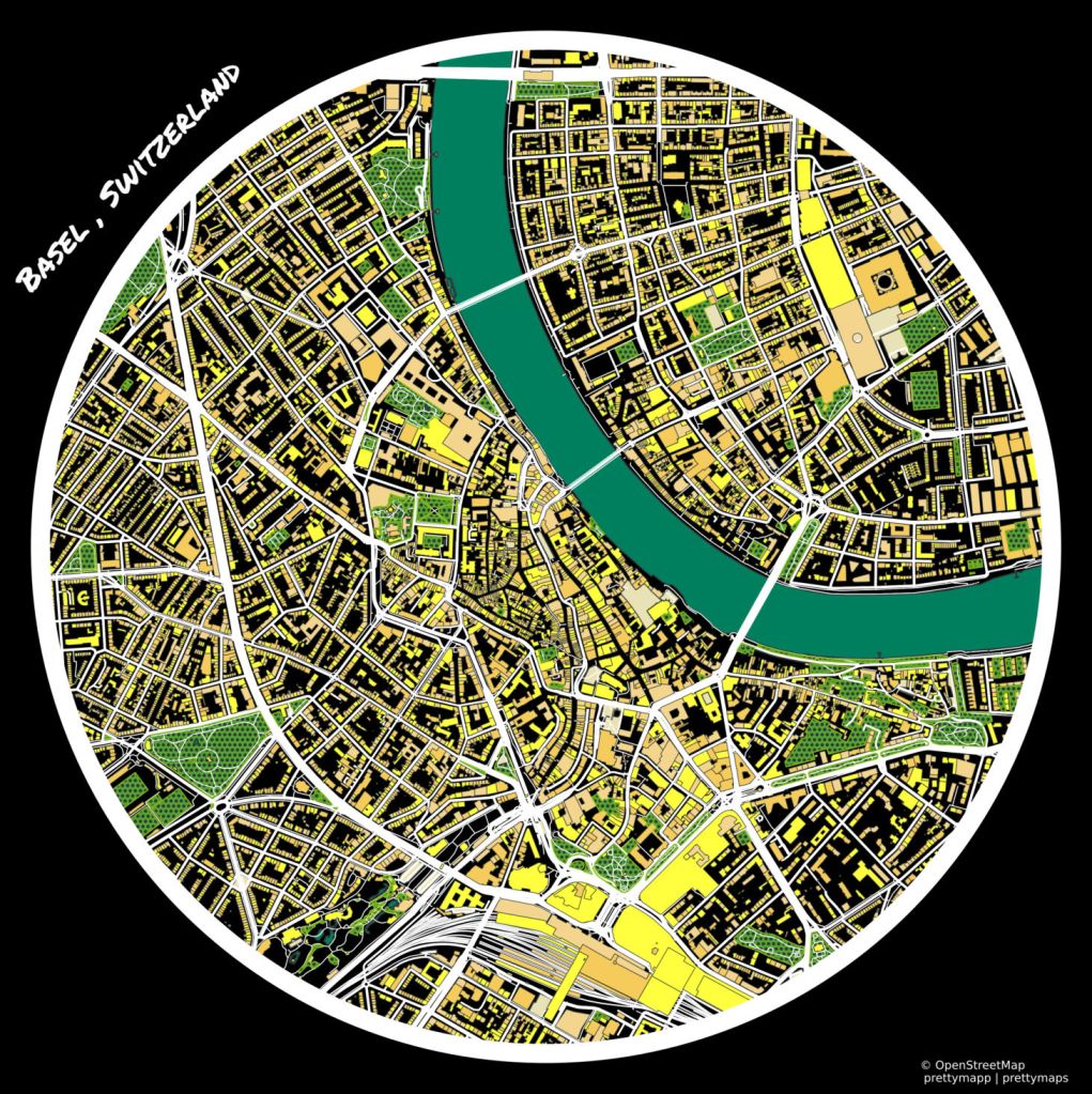
Switzerland is a “Water Tower” feeding the Rhine. The Rhine Falls is particularly spectacular if your ever on the Swiss German boarder.
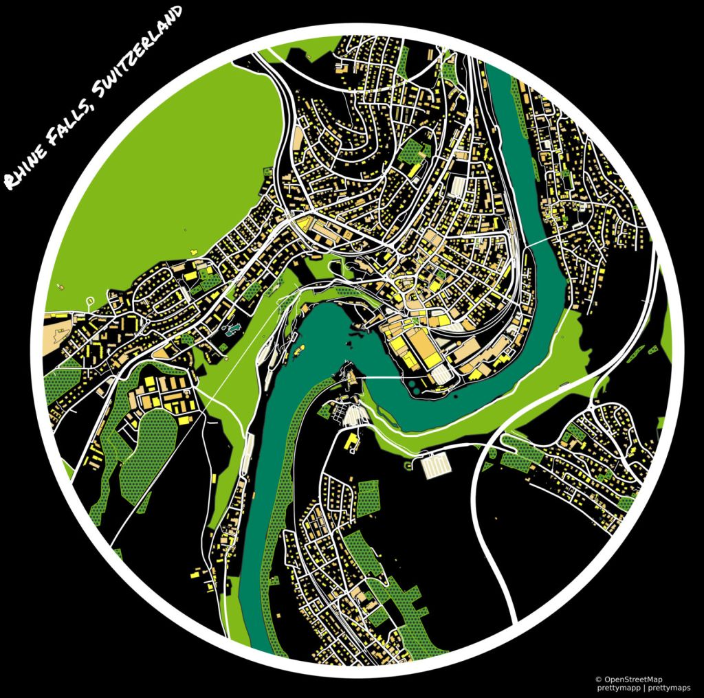
The River forms a natural barrier between France, Germany and Switzerland. It flows through Basel, and forms the boarder in the city between the three countries. It give the place a dynamism. The Rhine Length is 1233km and it has a discharge rate of 2,000 m³/s.
Rivers, Health and the Thames
Humanity exists between the ocean and the land as many of the great cities of the world boarder the sea. But it does seem to be much more accurate to say that humans are a river species. Only 5% of the world population lives away from Rivers and only 20% of the population next to the ocean. Much of humanity is moving to cities and river fronts within these cities are getting more development. And with this move more protection from extreme flooding events. The Thames River is an almost perfect example of this. Some of the most expensive real estate in England is on or next to this river. There are a serious number of developments are in place to control and develop old industrial sites along it. The Thames is only 346 km long, with a discharge rate of 65.8 m³/s.
The book dives into factors such as Green Exercise being more effective for wellbeing. I like one of the phrases particularly “nature deficit disorder”, which basically says go out side and spend time near running water to help mental wellbeing. There is something about rivers that help restore attention more effectively than other types of rest and recovery. The soft focus required to be in natural aquatic environments as opposed to cities with more active distractions.
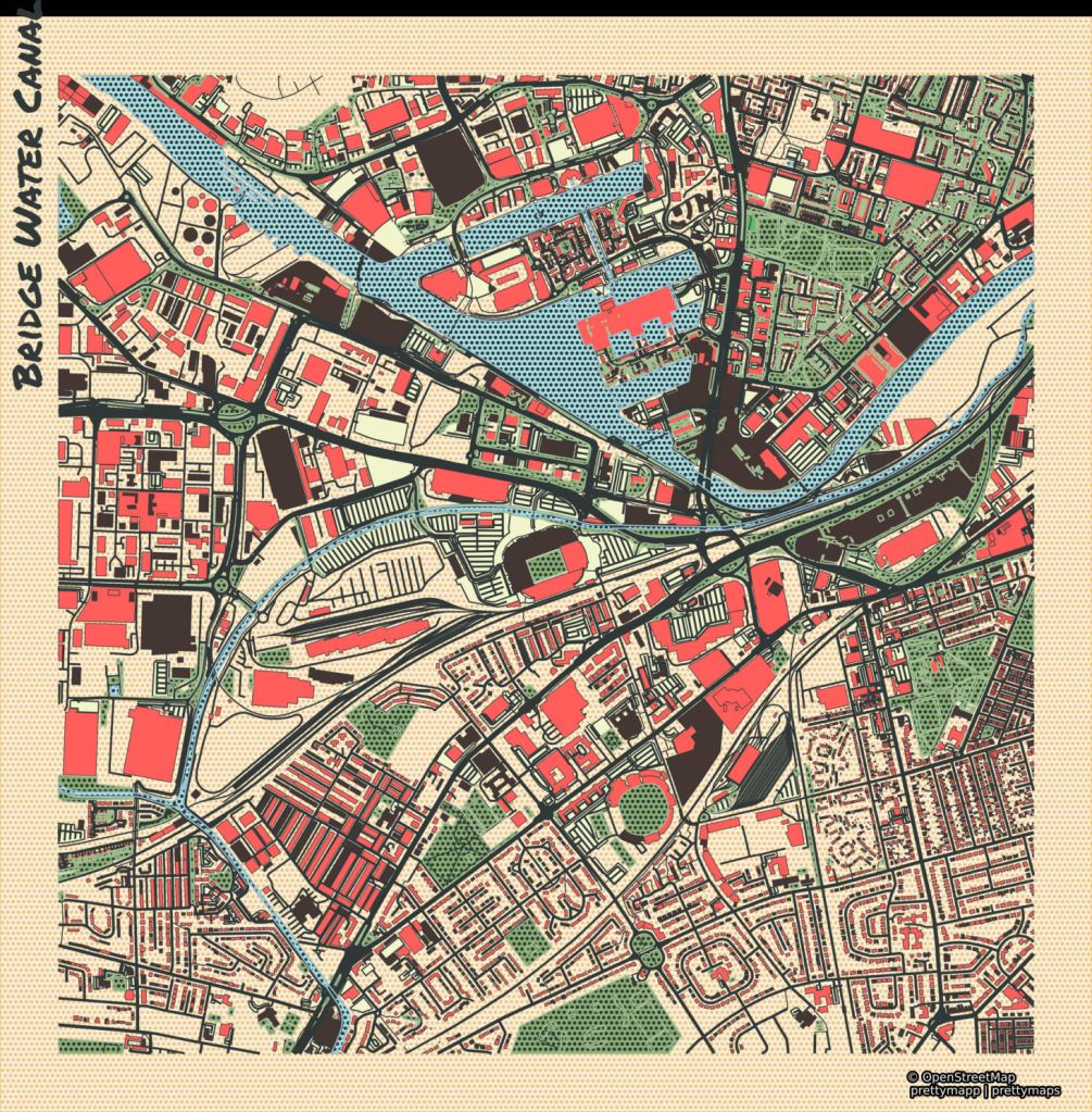
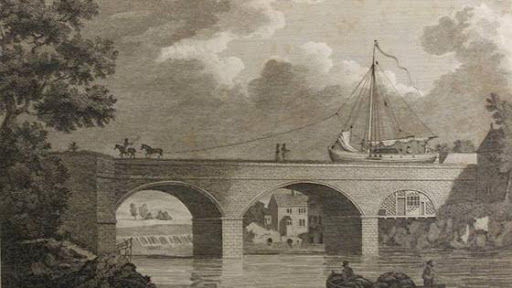
Bridgewater Canal, Manchester, 1767
During the industrial revolution the Bridgewater Canal was constructed by the engineer James Brindley. The project was designed to transport coal from Worsley mines to Manchester. This slashed coal prices by half fueled the city’s industrial boom.
The Bridgewater Canal is for recreational usage and passes directly next to Old Trafford. The home of the Manchester united Football Club. This rendering of Manchester also came out very well on Pretty Maps so I really had to include it. The canal is 65km.

This quickening of large goods shipments has continued to today. Navigable waterways are still the primary and cheapest means of goods transportation. Waterway engineering projects are active all over the world from Turkey to Mexico. Sues Canal bring in substantial capital and media attention. While navigable waterways are reliable predictors of economic prosperity. The Mississippi region is a source of great capital generation for the United States. Low transportation costs and navigable, its the most prized river system in the world.
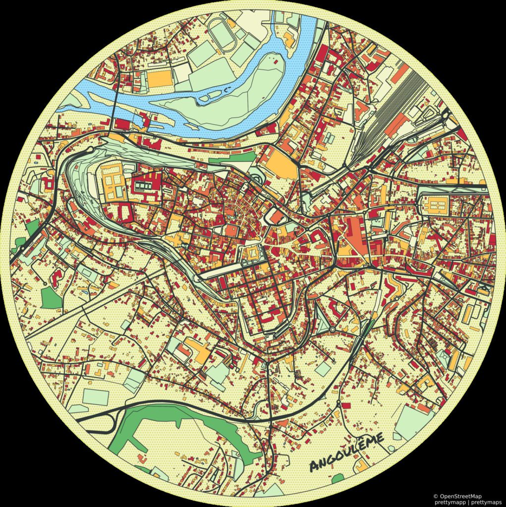
Roman Waterways Measurement and Le Charente
The Romans were known for their mastery of waterways. Yet they had basic misunderstandings about aquatic engineering. They believed that widening a watercourse would increase discharge rate. This is a fundamental misunderstanding of hydrological measurement. River discharge is the volume of water passing a specific point over time which is measured in cubic meters per second (m³/s). This depends on both the cross-sectional area and the velocity of the water, not the width.
Thanks for reading. Don’t be a Roman and measure your rivers by the 10 most powerful rivers by discharge:
- Amazon
- Ganges
- Congo
- Orinoco
- Yangtze
- Negro
- Madeira
- Rio de la Plata
- Brahmaputra
- Mississippi

Leave a comment