I finished a great book and would like to share; Rivers of Power – How a Natural Force Raised Kingdoms, Destroyed Civilizations, and Shapes Our World.
(more…)Category: Cartography
-
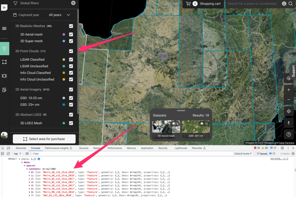
Spatial SQL
SQL is a standard language for interacting with DB’s and I don’t think we discuss it enough in the Spatial community. It’s a de facto language for interacting with DB’s which is platform agnostic. There are some great courses which I’ve dipped in and out of but the best is to just use the tools to do something useful.
(more…) -
Building with GraphQL
In order to create and maintain any kind of system you need to be able to perform operations on your data. GraphQL solves some very specific problems to do with how you perform CRUD operations. However it is pretty important to understand some of the limitations with restful routing before graphQL makes any sense at all.
(more…) -
Projection Cards
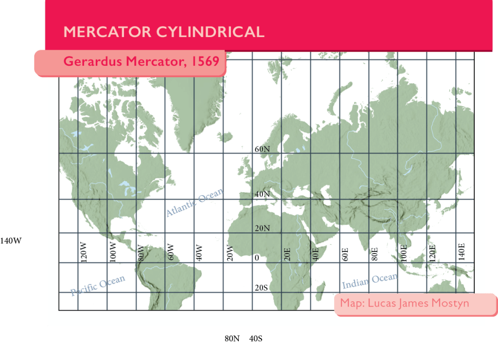
This was a fun little voluntary project organized by Danield Huffman from somethingaboutmaps.com to produce a series of project cards.I thought it would be a nice opportunity to share some of my working notes to see if my process makes sense and just to put it out there for others to use.
(more…) -
Building a Raster Mosaic from LINZ Tiles
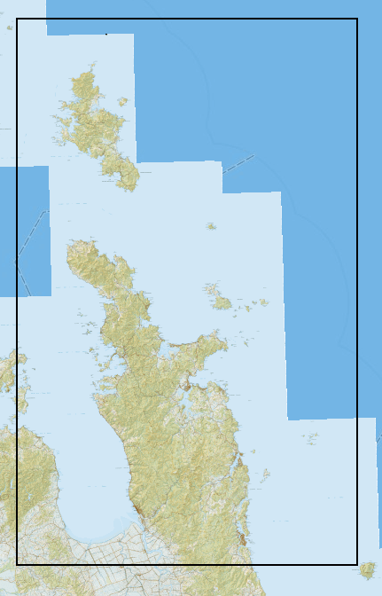
This is a quick note on cached tile services vs building a raster mosaic.
-
Representing Routes
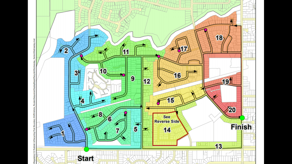
Calculating a collection route to optimally cover an area leaves you with two problems. Communication to the operators who need to be able to drive the route. Communication from the drivers who need to make changes.
-
Redirecting from Landfill to Recycling Services
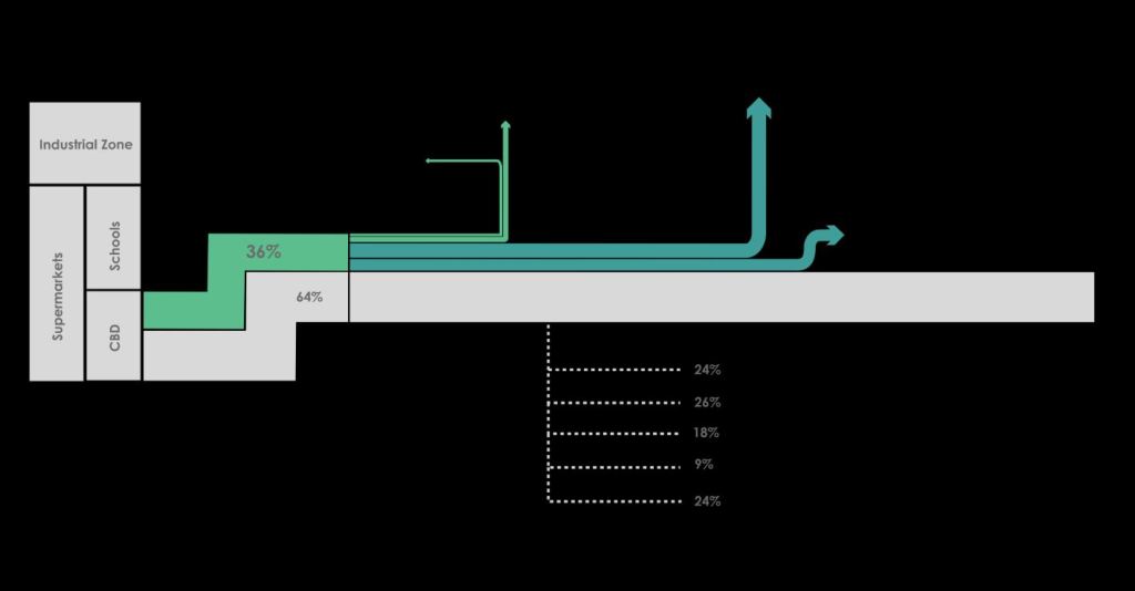
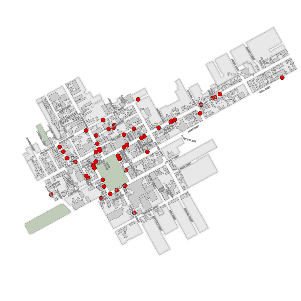
Following on from a recent, challenging attempt to convert businesses from using landfill services to recycling. Here are the target companies.
-
Cheap to Environmentally Friendly
Moving people from a cheap option to a more environmentally friendly one is tough in a commercial setting. Of the target list we managed to convert 36% of the companies with some interest in Recycling. (more…)
-
Bus shelter after bus shelter damaged make change necessary
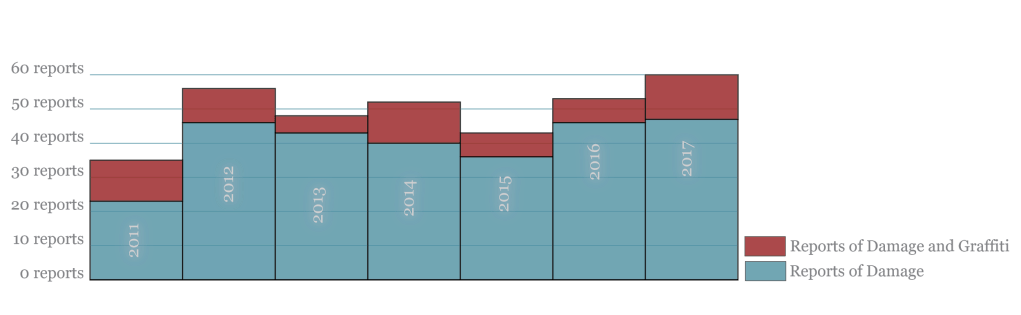
A cities public transport network relies on having sheltered dry places to wait for the next bus; especially in a student city. Damage to this infrastructure affects the whole service. (more…)
-
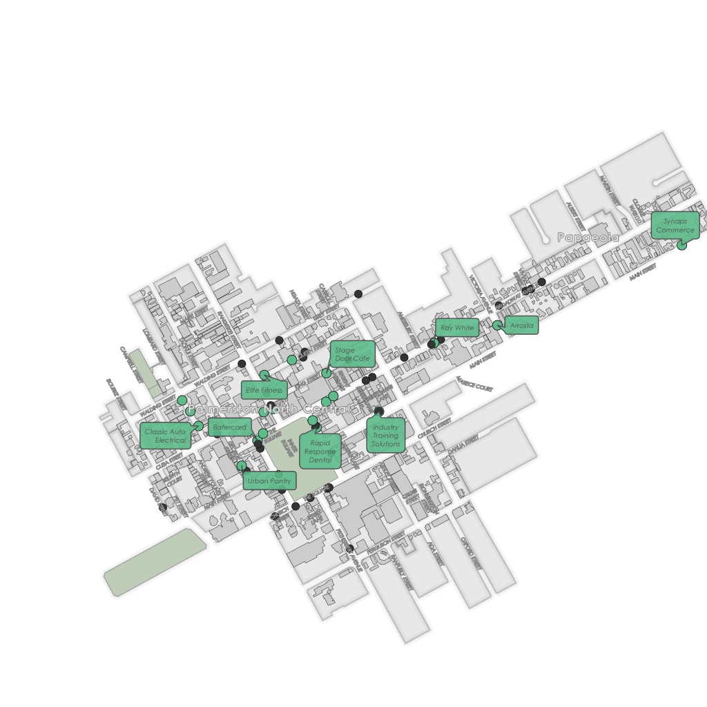
The Value of Building Footprints
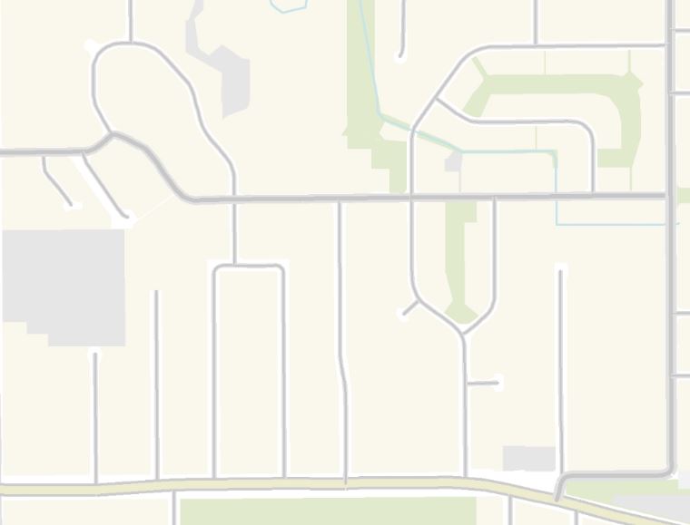
When mapping at a local scale we’re usually trying to show some sort of targeted data. This makes context important, but not so much that it takes away from the data your trying to show. (more…)
-

DEM effects
While working on a project I came across this effect. I was trying to render a height map, for both the country (more…)
-
Cleaning up the City – Graffiti
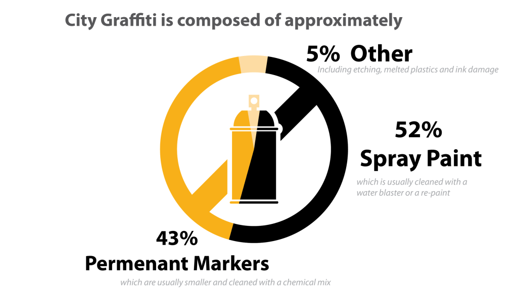
For many people, a city’s success is judged aesthetically. Basically how pleasant an environment is it. (more…)
-
Trash Mapping with ArcPro
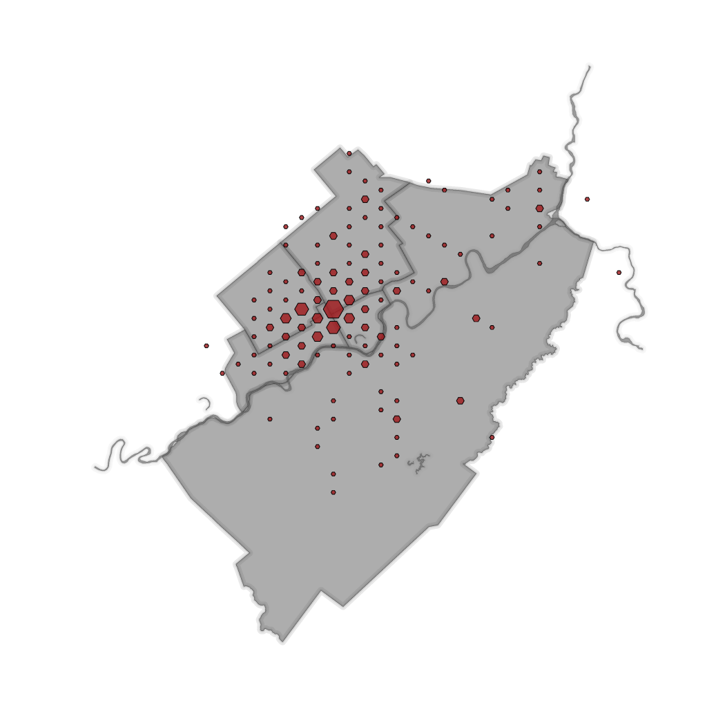
Looking over the invoices for council I found $##redacted (large sum of money, larger than I was ultimately aloud to publish on the infographic or my blog ) being spent on illegal dumping every year. That is an impressive sum of money for a small city. So I’m producing a map to show the annual cost and distribution of illegal dumping in the City; while telling the story of how long it take the council to pick the trash up. The data has been collected using Survey123 and Workforce and visualized in ArcGIS pro. (more…)
-

Why we should 3D print buildings
Maps have an amazing ability to focus a discussion. As a discussions becomes bigger less people can see the map and the conversation breaks down. This is actually a really big problem. (more…)
-
Hexagon Reporting
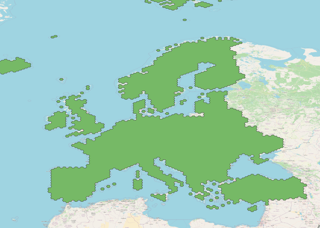
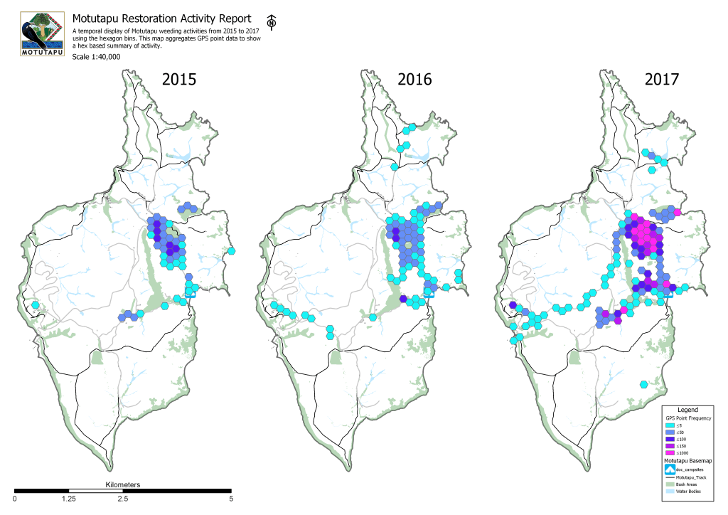
We often find ourselves collecting and maintaining data. For GIS applications we use this data to answer questions about the world around us. Quite often the sheer quantity of data is overwhelming and the more we collect the harder it is to give a simple answer.
This project is going to use Hexagon bins for the Motutapu Restoration project data. If it’s successful I will be able to report on disparate data sources by binning it into a hexagon grid across the island. This will allow me to report temporally for the islands data records using one feature service, a hexagon grid.
-
Buckminster Fuller and the Dymaxion projection
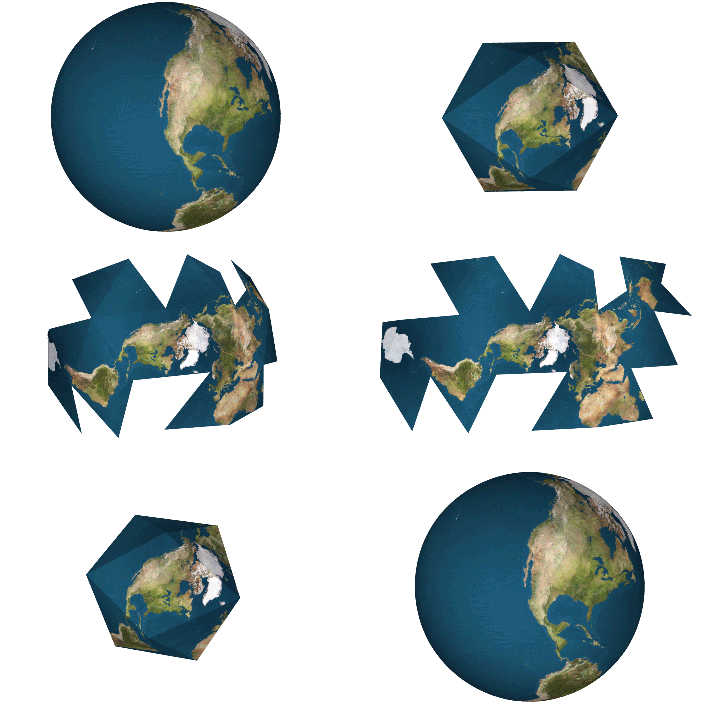
Richard Buckminster Fuller was an american inventor credited with, among other things, the Dymaxion Mapping Projection or sometimes known as the Fuller projection. It was designed to represent the earth as an island, and to emphasis humanitarian efforts across the globe, or as Buckminster Fuller would have said, “on Spaceship Earth”. I am ultimately writing about ‘Bucky’, as he became known, due to his contributions to the mapping community with the Fuller projection. The backstory is sad yet inspiring. (more…)
-
A Formula for Facility Mapping
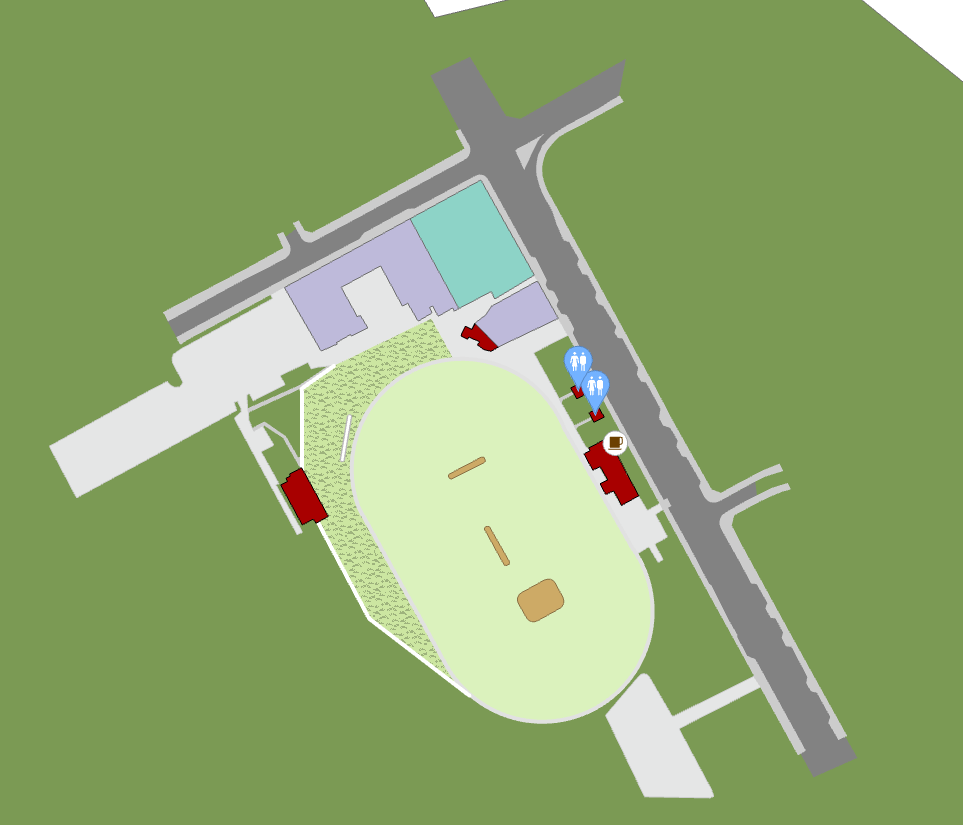
This is an introductory tutorial for making facility maps using GIS. I’ll be working with ArcGIS Pro, the recipe applies equally well for QGIS or ArcMap. (more…)
-
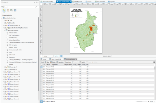
Making Maps! ArcGIS Pro in under 5 minutes
3 Step Guide to Publishing Hard Copy Cartography in ArcGIS Pro
Like almost every other GIS professional I’ve been producing hardcopy maps using the trusty workhorse of GIS, ArcMap for quite a while now; with the occasional foray on it’s slightly more hipster cousin QGIS. Over the last couple of years ESRI have been developing their cloud GIS and a new Desktop App called ArcGIS Pro. (more…)