This is a quick note on cached tile services vs building a raster mosaic.
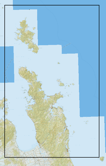
Working with cached image services is a major time saver. It gives you the raster tiles most appropriate to the scale you require, when you require them. While a dynamic service would behave differently, I’m working with a cached tile service today. Here is a view of the LINZ topo map tiles at 1:56,250. However this is actually a tile service rendered at 1:72223.819286. You can work it out if you inspect the end point of the service, in this case, that’s here. I’m flipping between these two resolutions.
- Level ID: 8 [ Start Tile, End Tile ]
- Resolution: 19.10925707126831
- Scale: 72223.819286
- Level ID: 9 [ Start Tile, End Tile ]
- Resolution: 9.554628535634155
- Scale: 36111.909643

There is quite a visible difference between the LINZ tiles provided by the service between 1:72 and then next level down at 1:36. It’s a pretty fundamental difference, an entirely different title image, which symbology designed for a different scale by the Cartographers at LINZ.

I have a very specific customer who needs the 1:36 title set. In reality that just means they want the LINZ Topo50 tiles, rather than the Topo250 titles. You can download these tiles from the LINZ data service site.

If you just add these tile .jpgs to a map they will vary in their color. Because GIS software is so smart, it does a really dumb thing here. It automatically detects that the data is a raster and alters the display of each image from most radiant to lowest. In order to make it behave properly you need to put the images into a Raster Mosaic so that each tile is aware of the intensity scale being used in the others. When working with Imagery this is really helpful, here it’s just annoying. It’s a pretty simple operation, I just don’t have to do it very often so it took a few attempts, hence the great naming convention.

If anyone else has this situation, you need to create a Mosaic Dataset as below:

You then need to add your raster images to the dataset:

Then you will have your very own image dataset you can use for making maps using the LINZ tiles.

Have a great day folks,
Lucas

Leave a comment