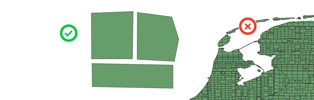
Defining delivery requirements in the Geospatial domain; and my favourite bug discovery. Communication protocols enable systems to communicate information; these definitions are API’s; Application Programming Interface.
(more…)Category: Data
-
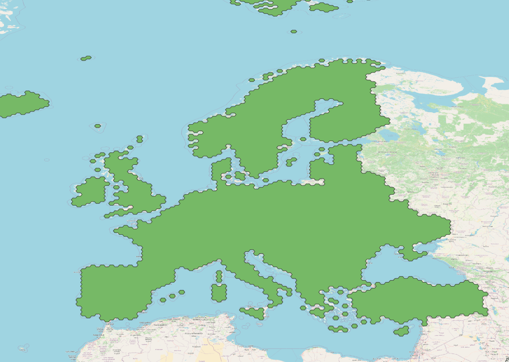
Spatial SQL
SQL is a standard language for interacting with DB’s and I don’t think we discuss it enough in the Spatial community. It’s a de facto language for interacting with DB’s which is platform agnostic. There are some great courses which I’ve dipped in and out of but the best is to just use the tools to do something useful.
(more…) -
HackZurich 23
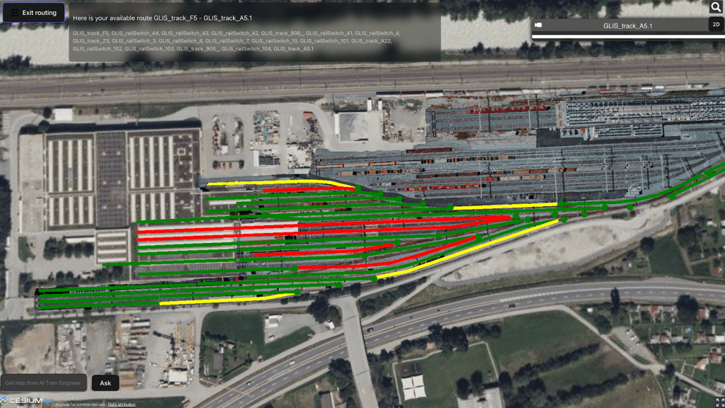
This year’s HackZurich challenge was to take information about a train shunting station in which locomotives and wagons come together on a network and create some kind of routing solution.
(more…) -
Building with GraphQL
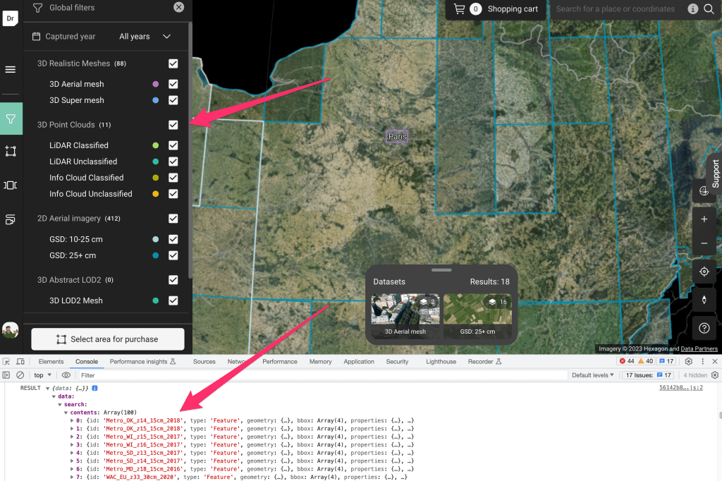
In order to create and maintain any kind of system you need to be able to perform operations on your data. GraphQL solves some very specific problems to do with how you perform CRUD operations. However it is pretty important to understand some of the limitations with restful routing before graphQL makes any sense at all.
(more…) -
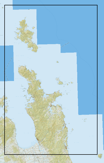
Building a Raster Mosaic from LINZ Tiles
This is a quick note on cached tile services vs building a raster mosaic.
-

The Power of Python Toolboxes
A lot of manual work can be avoided by using scripts to automate the processes. However, you inevitably end up with a lot of scripts to automate different pieces of a process. (more…)
-
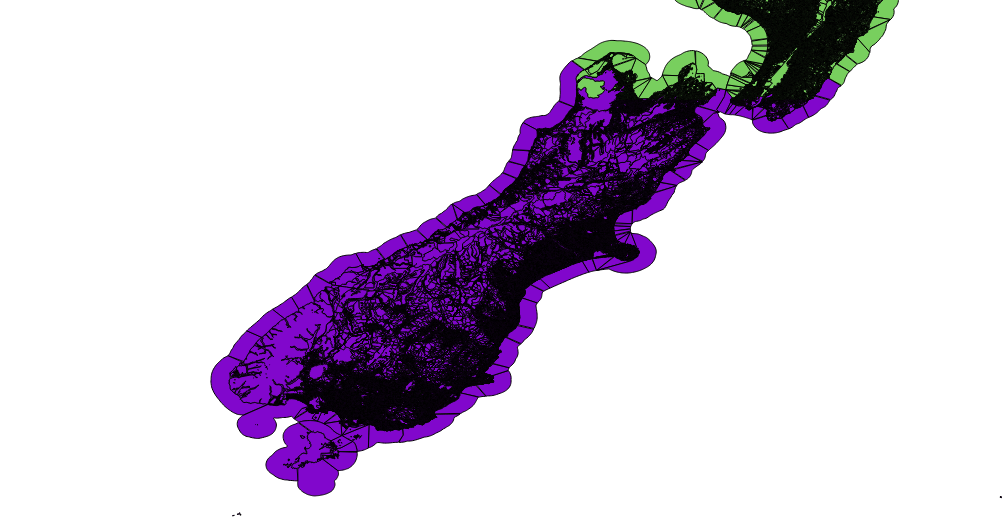
Addressing the Land – A quick guide to Parcels, Titles and Addressing
The foundation of government is land, around which is wrapped the economy, legal system and elections. Land in New Zealand has a legal title, an address and a set area recorded by a surveyor known as a parcel. I believe there is some confusion here and it’s important to be clear when so much depends on land. Parcels and Legal Titles do not have addresses. (more…)
-
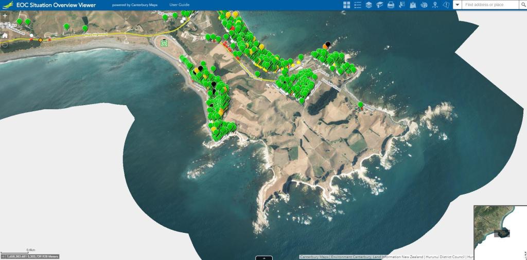
4 Ways to Geocode in a Hurry
Let’s talk about giving an address X Y coordinates. If you need to geocode something it’s probably going to be in a .csv .xlxs or .xls format. This post will talk you through adding a location and putting it on a map.

