Richard Buckminster Fuller was an american inventor credited with, among other things, the Dymaxion Mapping Projection or sometimes known as the Fuller projection. It was designed to represent the earth as an island, and to emphasis humanitarian efforts across the globe, or as Buckminster Fuller would have said, “on Spaceship Earth”. I am ultimately writing about ‘Bucky’, as he became known, due to his contributions to the mapping community with the Fuller projection. The backstory is sad yet inspiring.

In his early life Bucky invented a new method of rescuing Navy aircraft using a fixed rigg grappling hook. After his first child died of Polio due to poor housing he formed the stockade building company to make quality housing more affordable. Despite successfully solving some of the major issues with the building trade of the day he was driven out of business because his innovations would cost jobs.

After a string of unfortunate events he found himself destitute and considering suicide. Standing on the edge of Lake Michigan he decided that his responsibility was to make the world a better place with no regard for making money. Rather than taking his own life he decided to live the rest of his life as an experiment; to see what difference one individual could make to humanity.

In the course of his experiment he began working on some of Einstein’s ideas, thinking of geometries and the spatial relationships across the globe which led him to produce the Fuller Projection.
The Fuller Projection
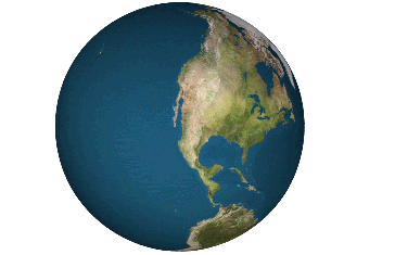
While most maps at the time, and indeed now opt to preserve angles using the Mercator projection, Bucky was thinking about dimensions and his experiment to better the world. The Fuller projection was an attempt to view humanity’s relationship to the globe in an interchangeable way. Built using equilateral triangles, technically an isosahedron, the central view of the earth could be moved around to change the focus. I find this projection significant for its intention to represent the earth as an island. 
The term ‘spaceship earth’ is meant to view the Earth the planet as a complex and resilient system. With the fundamental premise that we, humanity are having an effect on these systems which sustain life.
Application in ArcPro
If you would like to try displaying data in the Fuller projection using ArcPro you can find it by right clicking on the map and searching for ‘fuller’ in the coordinate system tab. It can give new and refreshing insights into global relationships.

I wouldn’t recommend modern GIS be performed using this projection but the view is certainly fascinating. It does preserves dimensions well and you can use the software to rotate the display so that north is up if you’re working on a national or local scale.

In the Physical Form
The most practical application is to provide others with spatial insights to the globe, as was originally intended by Bucky. If you ever have a group of people at a conference, school or user group to entertain building maps is a great way to do it.
- You can print from ArcPro but you may prefer this pdf.
- If you have access to a laser cutter then hackaday have a great template.
- You could use these 3d printer and laser cutter plans
- If you’re a web developer you can use this library to render online
- Or search the web for Dymaxion projection .pdfs, let me know in the comments below if you find any you think others might like.

one of my attempts


Leave a comment