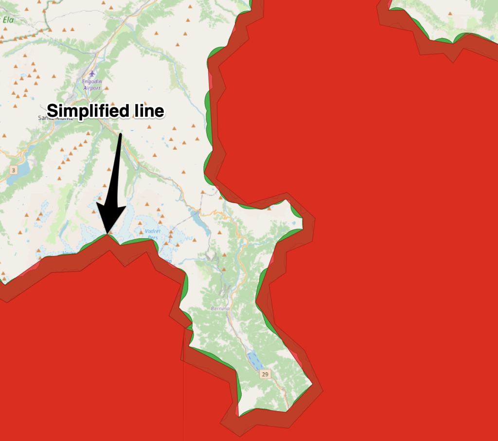
We have a highly detailed geojson file containing multipart polygons which represent the coverage of our data from the content program.This data needs to be fast to load but it is 320MB, all text. This is largely caused by each vertex in the polygon having a lot of xyz data. In cartographic applications we often run feature simplification to reduce the size of such data. Below in the blue line is what we have and the red line is what we want.
(more…)-
Subscribe
Subscribed
Have a WordPress.com account? Log in now.

