Category: Imagery
-
Basics of Drone flight
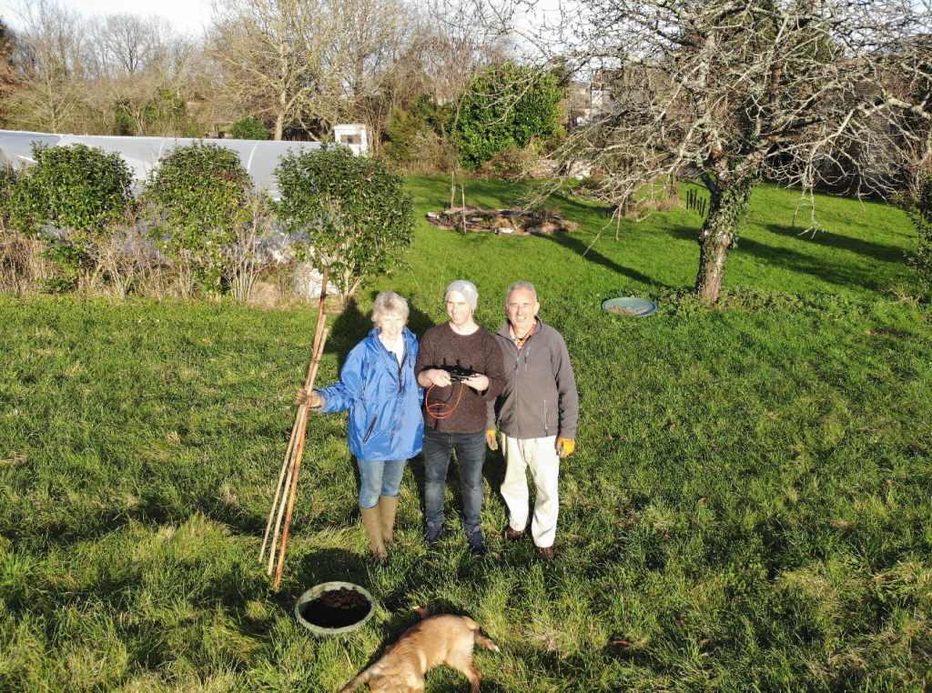
How to Capture Drone Imagery How to capture some cool drone imagery with a few pro tips.
-
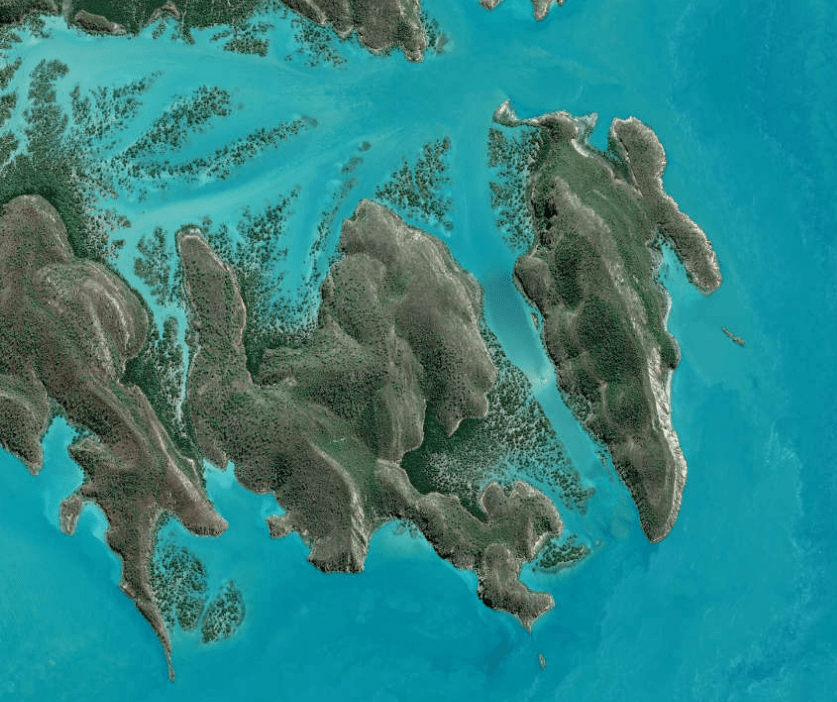
How to download Free Satellite Imagery
As a GIS professional your workflow very likely includes the acquisition of data to solve problems. In this post I’m going to be laying out a guide to Satellite geospatial data. Hopefully this will make finding data you don’t work with everyday a little easier.
