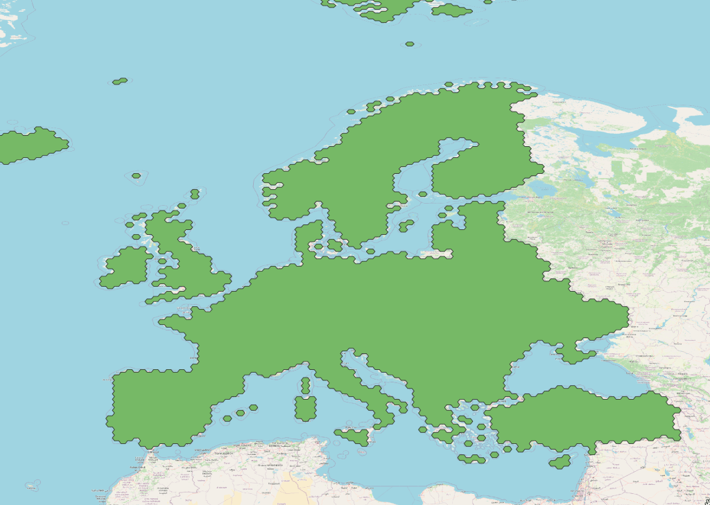
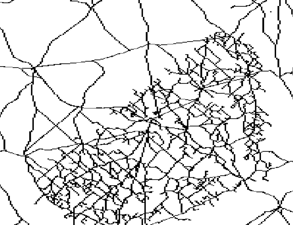
Category: raw data
-
Spatial SQL
SQL is a standard language for interacting with DB’s and I don’t think we discuss it enough in the Spatial community. It’s a de facto language for interacting with DB’s which is platform agnostic. There are some great courses which I’ve dipped in and out of but the best is to just use the tools…
-
Quick GDAL
WHAT IS GDAL / OGR GDAL or the Geospatial Data Abstraction Library is awesome. Its one of the foundations of geospatial software and mastering it can really help with daily work processes. Originally this thing was two separate libraries, GDAL for Raster Data manipulation, ORG for vector manipulation. This separation between the two libraries still…
-
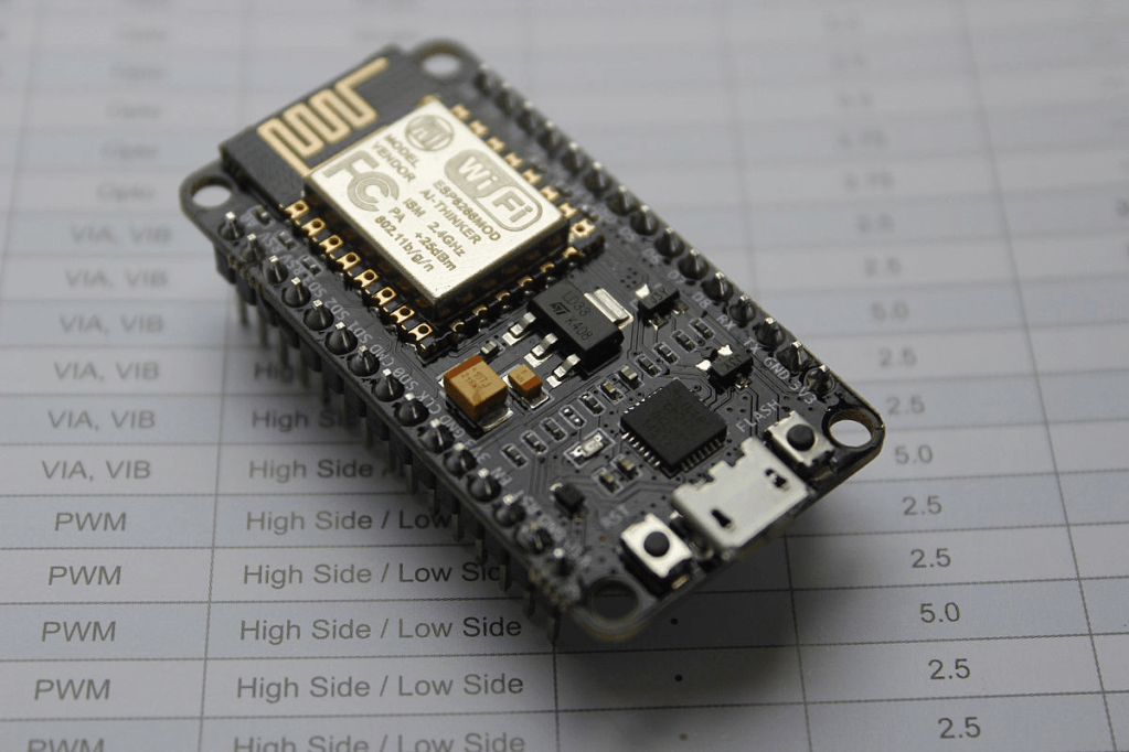
Developing on a NodeMCU board with Micro Python
I have a problem collecting rubbish and recycling saturation data. I’ve tried developing on existing ESRI apps to collect data and store it in the cloud. Its failed every time. These approaches failed because no one likes doing data entry on a phone or tablet, the guys who drive the truck. A clipboard is still…
-
How to record your GPS location
How to track with GPS
-
How to download Free Satellite Imagery
As a GIS professional your workflow very likely includes the acquisition of data to solve problems. In this post I’m going to be laying out a guide to Satellite geospatial data. Hopefully this will make finding data you don’t work with everyday a little easier.
