Category: systems
-
Spatial SQL
SQL is a standard language for interacting with DB’s and I don’t think we discuss it enough in the Spatial community. It’s a de facto language for interacting with DB’s which is platform agnostic. There are some great courses which I’ve dipped in and out of but the best is to just use the tools…
-
Drone Licenses
Regulations almost always lag behind technological innovations, and that is certainly true in the Drone space. Finally enough airports have been closed in Europe to make it necessary for the EU, Iceland, Norway, Switzerland and the UK to make some drone licensing rules. While the UK license is not valid in Europe the Swiss and…
-
Building with GraphQL
In order to create and maintain any kind of system you need to be able to perform operations on your data. GraphQL solves some very specific problems to do with how you perform CRUD operations. However it is pretty important to understand some of the limitations with restful routing before graphQL makes any sense at…
-

Developing on a NodeMCU board with Micro Python
I have a problem collecting rubbish and recycling saturation data. I’ve tried developing on existing ESRI apps to collect data and store it in the cloud. Its failed every time. These approaches failed because no one likes doing data entry on a phone or tablet, the guys who drive the truck. A clipboard is still…
-

The Power of Python Toolboxes
A lot of manual work can be avoided by using scripts to automate the processes. However, you inevitably end up with a lot of scripts to automate different pieces of a process.
-
Understanding As-Builts
Since Roman times city planning has included the provisioning of Water. Moving forwards a couple of thousand years has taken us away from the obvious aqueduct to an immensely complex underground network of pipe’s servicing the 3 water system; Wastewater, Storm water and drinking Water.
-

Responding to an Emergency with Maps
In the immediate aftermath of the Kaikoura earthquake a well practiced response went into effect. Within a few days information about the event increased exponentially as the various agencies began reporting. The tide of information was overwhelming. Organisation such as Environment Canterbury began requesting GIS support to help make the relevant information visible to people…
-
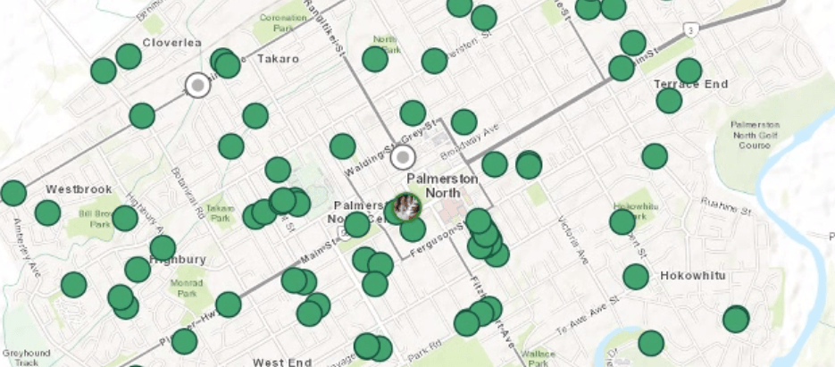
Location Based To Do Lists
Location based to do lists move us towards a map centric way of getting things done. Yes, they improve efficiency but the benefits goes much deeper. They give our workers freedom They give our managers confidence They make our work more pleasant In short they are awesome.
-

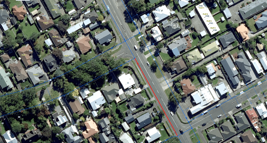
Addressing the Land – A quick guide to Parcels, Titles and Addressing
A quick guide to addressing the land. I’ve bolded up the main points if you’ve only got time for a quick skim read :-)
-
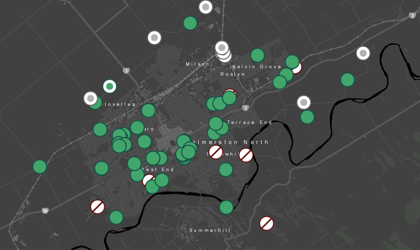
Four Tips for Working with Workforce
Workforce takes operations from ad hoc paper based system or a disconnected collection of GIS features to a systematic flexible and programmable to do list. At its heart there is a focus on keeping work loads simple. That means seeing only the information you need to perform the tasks relevant to you.
