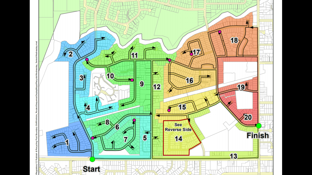
Calculating a collection route to optimally cover an area leaves you with two problems. Communication to the operators who need to be able to drive the route. Communication from the drivers who need to make changes.
Category: analysis
Work do to analyze geospatial data
-
GPS City
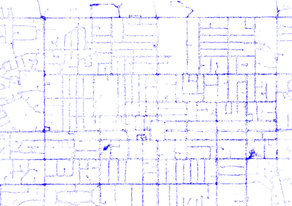
Using GPS points to map out a city we get a new dimension to our maps. Using the increasingly ubiquitous GPS data available it occurs to me we have a new way to cartographically visualize infrastructure. With the combination of millions of GPS points we can build up an great view of the city. (more…)
-
Cheap to Environmentally Friendly
Moving people from a cheap option to a more environmentally friendly one is tough in a commercial setting. Of the target list we managed to convert 36% of the companies with some interest in Recycling. (more…)
-
Bus shelter after bus shelter damaged make change necessary
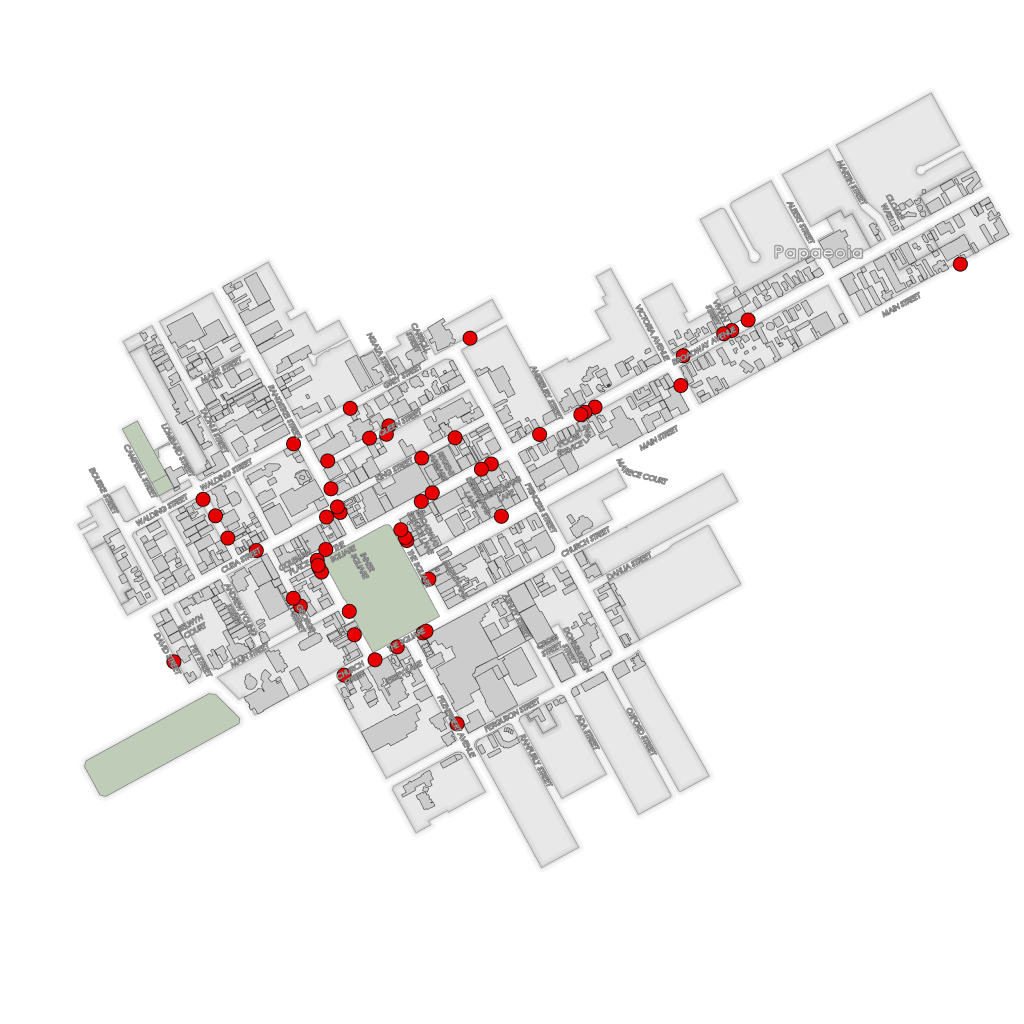
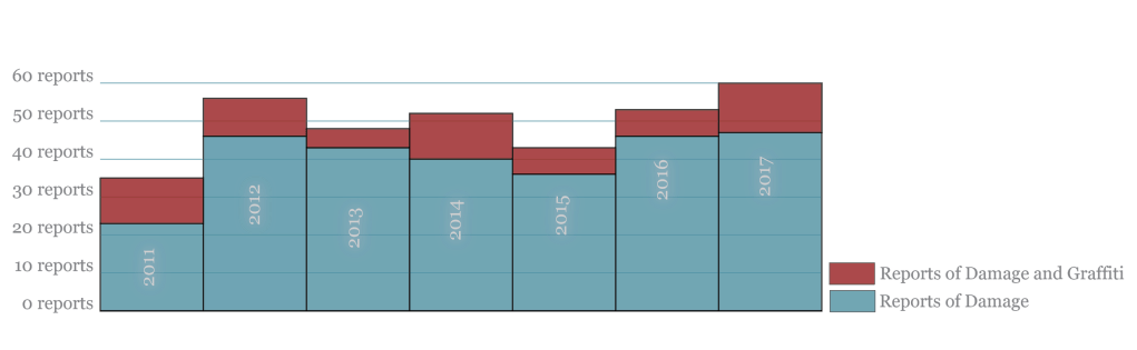
A cities public transport network relies on having sheltered dry places to wait for the next bus; especially in a student city. Damage to this infrastructure affects the whole service. (more…)
-
A Pokie Question
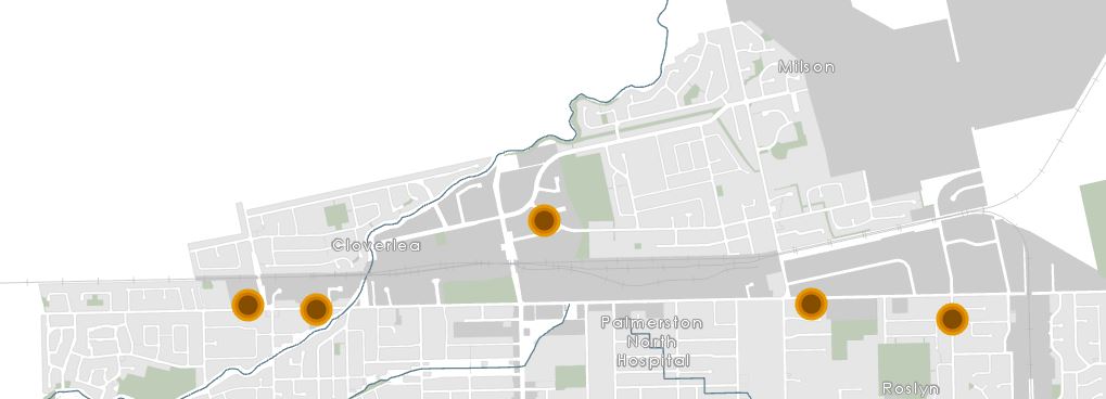
Pokie machines… a questionable social vice or good fun. Regardless of your point of view, they are certainly profitable. Palmerston North City and Ashhurst spent $4,623,896.06 on them in 2017. That’s $57.70 per person in a city of 80,000. (more…)

