Tag: Data
-
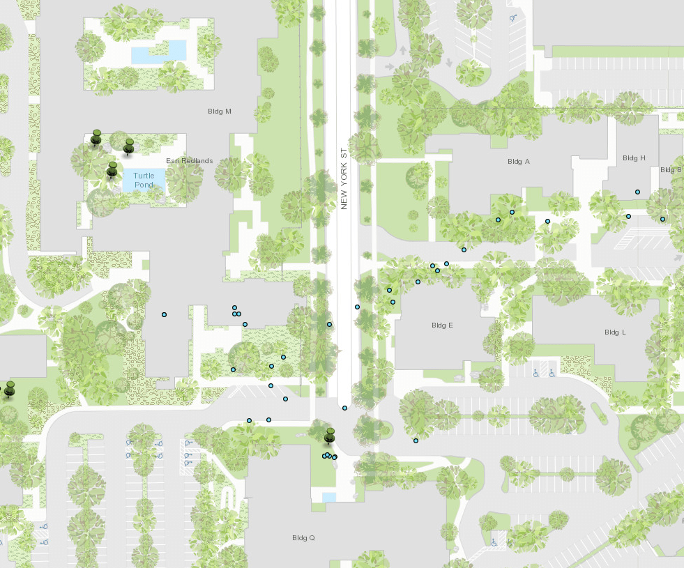
How to record your GPS location
How to track with GPS
-
Trash Mapping with ArcPro
Looking over the invoices for council I found $##redacted (large sum of money, larger than I was ultimately aloud to publish on the infographic or my blog ) being spent on illegal dumping every year. That is an impressive sum of money for a small city. So I’m producing a map to show the annual cost and…
-
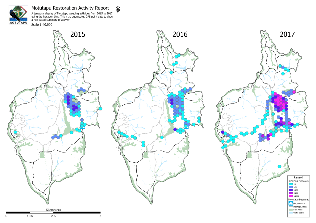
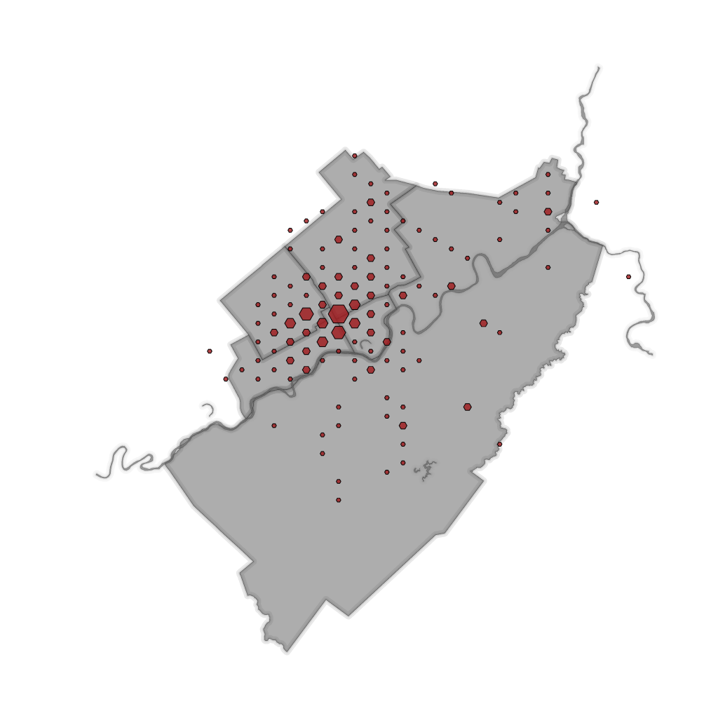
Hexagon Reporting
We often find ourselves collecting and maintaining data. For GIS applications we use this data to answer questions about the world around us. Quite often the sheer quantity of data is overwhelming and the more we collect the harder it is to give a simple answer. This project is going to use Hexagon bins for…
-
How to Ethically Harvest Online Data with Python for ESRI Integration
How to make GeoJson available to a database. This article demos web scraping with python and writing to an SDE feature.
-
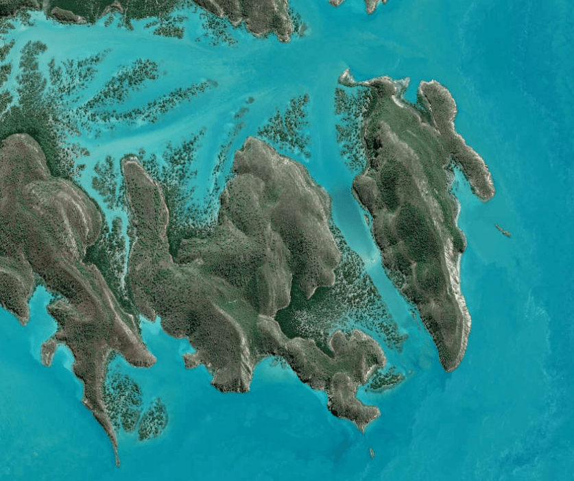
How to download Free Satellite Imagery
As a GIS professional your workflow very likely includes the acquisition of data to solve problems. In this post I’m going to be laying out a guide to Satellite geospatial data. Hopefully this will make finding data you don’t work with everyday a little easier.
